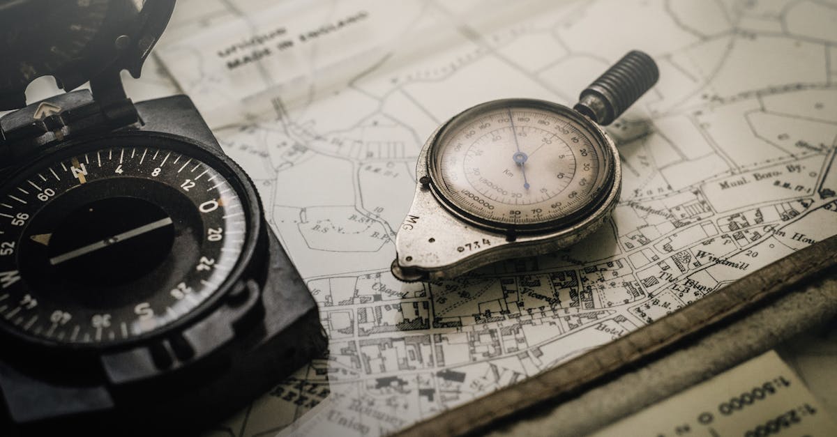
Construction surveying plays a critical role in turning designs into tangible structures. By accurately measuring and mapping land, it sets the stage for successful projects, ensuring that every building is constructed exactly as planned. From defining property boundaries to assisting in infrastructure development, surveying provides the spatial data necessary for informed decision-making throughout the construction lifecycle. Discover how this essential practice shapes the future of safe and compliant construction.

Blueprint to Reality: How Construction Surveying Ensures Project Accuracy
Construction surveying is a foundational element in making sure that projects unfold correctly. By providing precise measurements and maps, it allows planners and builders to create safe, functional, and compliant structures. Let’s explore how construction surveying bridges the gap between theoretical plans and actual builds.
The Purpose of Construction Surveying
Understanding the role of construction surveying is essential for anyone involved in the building process. It establishes the baseline for all construction activities, ensuring that every aspect aligns with design specifications.
Key Objectives of Construction Surveying
Construction surveying achieves several key outcomes, which are fundamental in any successful project:
- Establishing Reference Points: These serve as guides for construction activities.
- Accurate Measurements: Provides detailed data needed for design and execution.
- Quality Control: Ensures that construction meets regulatory and safety standards.
- Feasibility Assessments: Helps to identify potential challenges before construction begins.
Types of Surveys in Construction
There are a variety of surveys that cater to different project needs. Each type plays a fundamental role in ensuring project success.
ALTA/NSPS Land Title Surveys
These surveys are crucial for real estate transactions, detailing aspects such as property boundaries and easements. Comprehensive reports include historical data, precise measurements, and legal certifications, ensuring that everything complies with the law.
Topographic and Utility Surveys
Topographic surveys outline the physical features of a site, including elevation and existing structures. By employing advanced tools like GPS and laser scanning, these surveys compile detailed maps that are essential for development and planning.
Route and Boundary Surveys
Useful for infrastructure projects, route and boundary surveys clarify property lines. They often involve public collaboration to identify rights-of-way for utilities and roads, facilitating smoother project execution.
Construction Staking
This process translates design plans into field markers, determining the layout of structures based on precise survey measurements. It is vital in defining project outlines and ensuring every element adheres to design specifications.
Tools Used in Construction Surveying
The tools of the trade for construction surveyors are critical in achieving accuracy. These tools range widely in technology and application.
| Tool | Purpose | Technology Used |
|---|---|---|
| GPS Equipment | High-precision location tracking | Satellite Systems |
| Laser Scanners | Capturing detailed site data | 3D Imaging |
| Total Stations | Measuring angles and distances | Optical/Mechanical |
Why Accurate Surveying Matters
Accuracy in surveying is indispensable for project success. If measurements are incorrect, entire projects can go awry, leading to financial loss and safety risks.
Legal Compliance and Safety
One of the major aspects of accurate surveying is compliance with laws and regulations. Ensuring that properties are developed according to legal standards prevents future disputes and hazards.
Structural Integrity
As buildings and infrastructures are erected, the precision gained from surveying ensures they are structurally sound. Any miscalculations during this phase can lead to catastrophic results.
Cost Efficiency
With accurate data, project managers can allocate resources more effectively. This not only minimizes waste but also leads to better budgeting and scheduling for projects.
Building the Future with Advanced Technology
The future of construction surveying is bright as technology continues to advance. The incorporation of more sophisticated tools and methodologies is enhancing precision and efficiency.
At McNeil Engineering, we strive to provide superior surveying services that align with the latest developments in technology. With our team of experts, we ensure that every project is set up for success from the very beginning.
Whether you’re looking for an ALTA/NSPS Land Title Survey, a topographic survey, or any other surveying needs, our team is ready to assist. You can trust us to deliver the accurate, detailed information that will drive your project forward. We stand by our commitment to excellence and are dedicated to fulfilling your surveying requirements.
Construction surveying is a vital link between design and execution, ensuring that projects meet standards of accuracy and safety. By accurately delineating property lines and providing essential geographical data, surveying contributes to successful outcomes across construction scenarios. Whether you’re embarking on a new venture or seeking reliable data for an existing project, consider partnering with a professional surveying team that understands the intricacies of bringing blueprints to life. Contact McNeil Engineering today to ensure your project is built on a solid foundation of precise measurements and clear insights.


